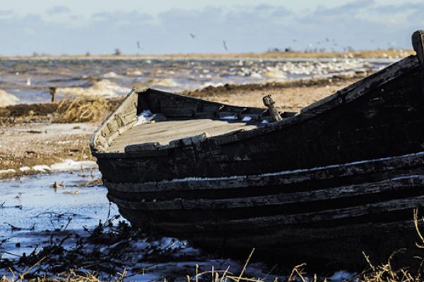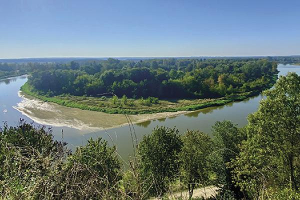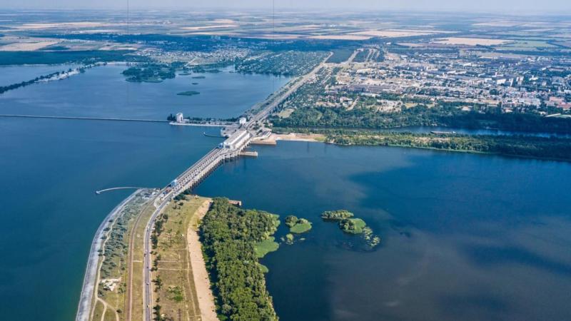
The destruction of the Kakhovskaya HPP dam became the largest environmental disaster in the Black Sea basin in modern European history. More than a year after the tragedy, it is still impossible to fully assess all the consequences of the disaster. However, it is clear that the explosion of the dam caused significant flooding of territories, in addition to human casualties and material damage, led to a humanitarian and man-made disaster, destroyed the landscape, changed ecosystems, polluted aquifers, and littered the coast and reservoirs. For the purpose of current and future ecological investigations in the region, mapping and preserving currently available data is essential.
This project parted from an investigation on this topic, using the resulting data as the basis of a multimedia interactive map for environmental journalists. This tool shows the dynamics of flooding, changes in the landscape, expansion of waste islands. It also includes photos and videos from the flooded areas as well as scientific data on the bacteriological and chemical composition of the water and data on the mass death of living organisms. To top it all, eyewitness testimonies from the scene, responses from official institutions, and comments from scientists were appended.
You can find the map here, and here is the expanded project description.